


Thailand
>Phetchabun
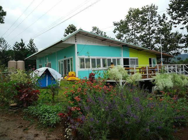
>Amphoe Khao Kho Hotels
>
Info
Phitsanulok Airport 1 hr 42
วิสาหกิจชุมชน คุ้มภูเพชร เขาค้อ (3 min)
Wat Phra Thart Pha Sorn Kaew (20 min)
Mountaintop Buddhist monastery & temple covered in colorful mosaic tiles & surrounded by gardens.
Himavanta (16 min)
River, literature, elephant, music, and forest
Khao Kho National Park (27 min)
Sprawling mountainous national park with waterfalls, temples, rich forests & villages.
Sri Dit Waterfall (24 min)
Modest waterfall in low-key surroundings that include a forest and a rocky viewpoint.
ไร่ GB ทุ่งกังหันลม เขาค้อ (15 min)
Pastoral farm offering tours of its wind turbines & a cafe overlooking the lush landscape.
Khao Kho (31 min)
พระตำหนักเขาค้อ (32 min)
Viewpoint overlooking forested hills, on the grounds of a royal residence, with a campground.
Khao Takian Scenic Spot (35 min)
Popular lookout point for panoramic views of fog-shrouded peaks & forests at sunrise.
Kanchanapisek Pagoda (14 min)
Khao Kho Sacrifice Memorial (31 min)
Hilltop marble tower dedicated to soldiers who died during civil unrest between 1968 and 1982.
Rutnai Reservoir (20 min)
Khao Kho sea viewpoint (15 min)
Town is famous for its spectacular views over a sea of clouds formed in jungle valleys.
Blue Sky Garden (15 min)
B. N. Farm (8 min)
Contact Number
Web Site
Address
Map Coordinates
Map
