Japan
>Yamanashi Pref
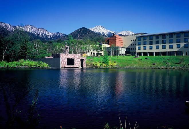
>Hokuto City Hotels
>
Info
Shinshu-Matsumoto Airport 1 hr 50
Mt. Amigasa (44 min)
Yatsugatake range peak noted for its rounded summit with sweeping views, reached by a day hike.
Mount Tengu (1 hr 2)
2,646m peak named after a mythological creature & popular with hikers & climbers, with scenic views.
Mount Mizugaki (39 min)
2,230-m. forested mountain offering year-round trekking & panoramic views alongside camping.
Chateraise Ski Resort Yatsugatake (13 min)
Small ski resort with kid-friendly slopes, a dessert shop & sweeping views across the Japanese Alps.
Doryu Falls (8 min)
Scenic spot with a short path to a waterfall with several threadlike cascades amid rocks & greenery.
Mt. Amida (45 min)
Challenging 2,746-m. winter alpine climbing site with a Buddha association & statue at the summit.
Fujimi Kogen Ski Area (27 min)
Family-friendly ski resort on Mt. Nishidake, with a ski school & cafe selling soba noodles.
蓼科高原 (58 min)
Autumn leaf color, lake, skiing, art museum, and golf
Mt. Yokodake (27 min)
Scenic peak within the Yatsugatake Mountain range known for its volcanic crate, lava dome & views.
Kiyosato Terrace (3 min)
Reached by lift, this ski spot has year-round activities & a terrace with dining & Mt. Fuji views.
Mt. Gongen (45 min)
An observation platform houses 1 of a pair of bells commemorating the WWII atomic bombings.
Mt. Iimori (22 min)
Popular trekking area with a summit overlooking Mount Fuji & nearby peaks, plus a warrior memorial.
Mount Aka (45 min)
2,899m-tall peak, highest of the Yatsugatake Mountains, with views of Mt. Fuji from the top.
Yatsugatake Honzawa Hot Spring (44 min)
Mountaineering, autumn leaf color, camping, and mountain
Mt. Yokodake (27 min)
Featuring multiple peaks, this rocky mountain includes a popular loop trail & scenic Mt. Fuji views.
Contact Number
Web Site
Title :
Address
Map Coordinates
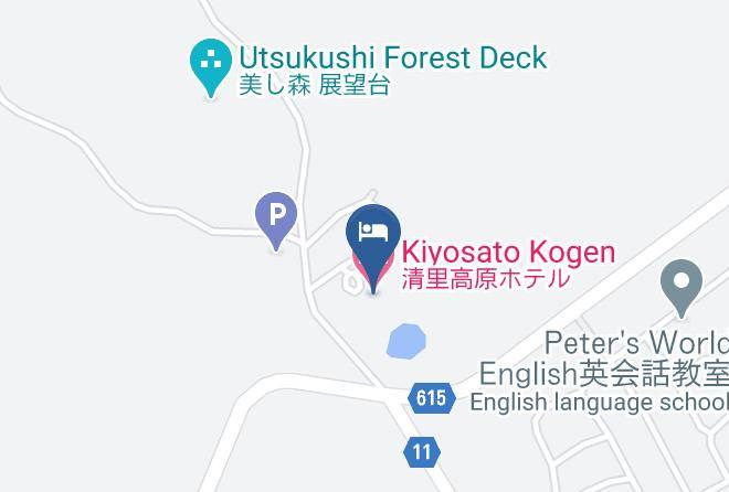
Map