Ukraine
>Zakarpattya
>Rakhiv Raion Hotels
>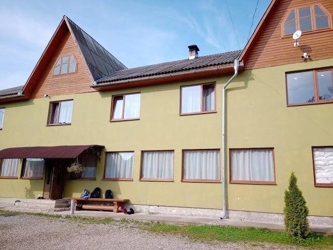
Info
International Aeroport Ivano-Frankivsk 1 hr 50
Zhenetsʹkyy Huk Vodospad (45 min)
Cascade reachable by a long trek along the Zhenetz River & through dense woodland.
Svydovets (1 hr 45)
Alpine ridge with peaks as high as 1,883 meters, plus lakes, trails & picturesque views.
Stih (1 hr 18)
Panoramic views & ski runs on a mountain summit accessible by chairlift, with a Virgin Mary statue.
Gorgany Nature Preserve (3 hr 5)
Mountainous region with trails through expansive pine & spruce forests & rocky ridges.
Hora Blyznytsya (55 min)
Mountain and lake
Carpathian National Nature Park (46 min)
Vast expanse of protected wilderness in the mountains with river access & dozens of trails.
Mountain Dovha (1 hr 25)
A 6,627-ft. massif summit covered with meadow & forest & challenging hiking route.
Yablunetskyi pereval (17 min)
Scenic mountain road with views of the hills & valleys beyond, plus a cafe & souvenir shop.
Bukovel (32 min)
Extensive resort for skiing, mountain biking & hiking in the Carpathian mountain range.
Hoverla (1 hr 29)
Forested 6,762-foot-high mountain peak with panoramic views accessed by 6km & 12km long trails.
Drahobrat (1 hr 8)
Rustic ski & snowboard resort at 1,400 m., known for its ample off-piste & freeriding terrain.
Lake Molodosti (35 min)
Drahobrat (1 hr 21)
Chornohora (1 hr 29)
The highest mountain range in Western Ukraine, known for its hiking, climbing & scenic views.
Khom'yak (27 min)
Rocky, forested peak with trekking paths & a rope bridge, waterfalls & scenic panoramas.
Contact Number
Web Site
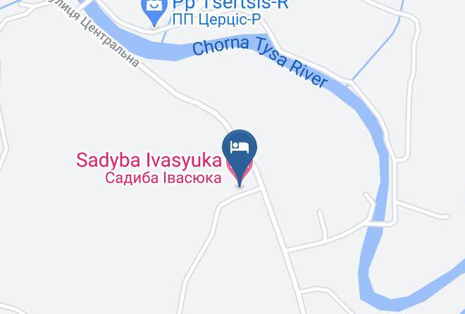
Address
Map Coordinates
Map