Japan
>Shizuoka Pref
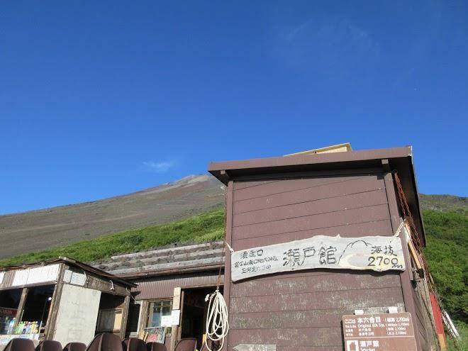
>Oyama Townsunto District Hotels
>
Info
Haneda Airport 2 hr 8
Takabisha (42 min)
Lake Motosu (1 hr 14)
Lake with a Mount Fuji backdrop & depths of nearly 400 ft., popular for camping, boating & fishing.
Lake Yamanaka (40 min)
Lakeside walks, bike rides & water activities in a picturesque site with Mount Fuji in the distance.
Saiko Lake (59 min)
Tranquil lake area offering forested hills, hiking paths, fishing & boating spots & Mt. Fuji views.
Kitaguchi-hongu Fuji Sengen Shrine (45 min)
Shinto shrine complex with wooden structures & stone lanterns lining the paths through the forest.
Aokigahara (57 min)
Vast natural area on the slopes of Mt. Fuji featuring a dense forest with a rugged lava-rock floor.
Lake Kawaguchi (49 min)
Second-largest of the Fuji Five Lakes, this scenic getaway is known for fishing, camping & hiking.
Fuji-Q Highland (41 min)
Amusement park with huge roller coasters, haunted-theme rides & a kids' area, plus shops & cafes.
Oshino Hakkai (39 min)
Small village in a scenic setting with 8 ponds, views of Mt. Fuji & vendors of food & souvenirs.
Shiraito Falls (1 hr 17)
Unique, wide waterfall in the scenic, lush surrounds of Fuji-Hakone-Izu National Park.
Mount Fuji (1 hr 12)
Iconic snow-capped peak & volcano, the highest in Japan & the 7th highest island peak on earth.
Narusawa Ice Cave (56 min)
Small lava tube cave featuring pillarlike ice formations during the winter months.
Grinpa (55 min)
Kid-focused amusement park with rides & play rooms, plus winter sledding & spring flower festivals.
Mt. Fuji Panoramic Ropeway (48 min)
Aerial lift ascending to an observation deck with wide-open vistas of Mt. Fuji & Lake Kawaguchi.
Fuji Safari Park (59 min)
Zoo & wildlife park offering safaris by bus, rental 4WD or on foot through simulated habitats.
Contact Number
Web Site
Title :
Address
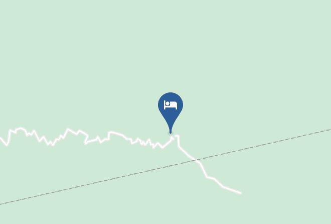
Map Coordinates
Map