Czechia
>Liberec
>Jablonec Nad Nisou Hotels
>
Info
Pardubice Airport 2 hr 3
Kotel (54 min)
Slopes covered with oak & beech woods, meadows & farmland, with rare plant and bird life.
Pancava Falls (1 hr 12)
Tall, multi-tiered waterfall with hiking trails & views of the surrounding area from a lookout.
Sports area Harrachov, Inc. (24 min)
Popular ski resort featuring downhill slopes & cross-country trails, plus chair lifts & instruction.
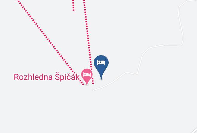
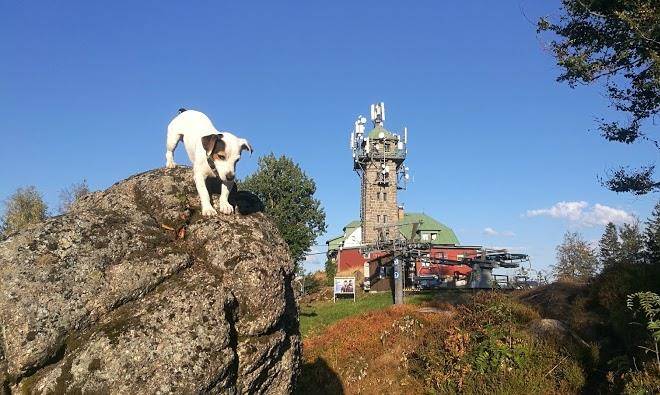
Tanvaldský Špičák (1 min)
Mountain ski area with a variety of slopes & chairlifts, plus summer trails & sweeping views.
Mumlava Falls (26 min)
Visitors can access this picturesque alpine river cascade by hiking along marked trails.
Smrk (1 hr 7)
The highest in the area, this peak offers hiking trails & an observation tower with panoramic views.
Ski Resort Rokytnice (33 min)
Popular locale with a range of slopes across 2 ski areas, plus a children's park & restaurants.
Stóg (1 hr 7)
Mountain peak featuring several hiking trails, ski slopes & scenic cable-car rides.
Śnieżne Kotły (1 hr 14)
Geological landmark consisting of 2 post-glacial cauldrons with expansive valley views from the top.
Łabski Szczyt (1 hr 13)
Rocky country border mountain summit reaching 4,826 feet & River Elbe source surrounded by trails.
Sychrov Castle (40 min)
Castle rebuilt in the 1820s with opulent rooms, carved wooden furniture & English-style gardens.
Liberec Town Hall (39 min)
Landmark, late-1800s town hall featuring a grandiose facade with elaborate arches & spires.
Kamieńczyk Waterfall (32 min)
Picturesque cascade of water in a mountain environment, with a nearby hostel & hiking trails.
Wysoka Kopa (48 min)
Scenic views are offered from this wooded mountain peak accessed via hiking routes.
Lysá hora (44 min)
Mountain known for climbing, hiking & skiing, with trails through forest & meadows to the summit.
Contact Number
Web Site
Address
Map Coordinates
Map