Japan
>Tokyo Met
>Ome City Hotels
>
Info
Haneda Airport 1 hr 59
Tokyo Summerland (51 min)
Sprawling aquatic amusement park featuring water slides, a lazy river & indoor swimming pools.
Lake Okutama (47 min)
Ringed by mountains & lush woods this expansive reservoir features hiking trails & scenic overlooks.
Nippara limestone caves (57 min)
Cave, autumn leaf color, and nature
Musashi Mitake Shrine (7 min)
Historic red Shinto shrine at over 3,000 ft. elevation, accessed by a cable car.
Akigawa Valley (51 min)
Picturesque river gorge with rental fishing equipment & BBQs, campgrounds & a suspension bridge.
Lake Sagami (1 hr 10)
Artificial lake created in 1947, offering rowboats for rent, fishing & scenic views.
Mt. Odake (1 hr 11)
Panoramic 4,154-foot summit with Mount Fuji & Tokyo views reached by trails & a cable car.
Hossawa falls (hinohara waterfall) (1 hr 1)
A brief walk from a parking lot leads to this picturesque, 62-meter cascade in a natural setting.
Mount Jinba (1 hr 24)
Picnic tables & an artful horse statue top this 2,812-foot summit, a tranquil hiking destination.
Mt. Mito (1 hr 21)
Mountain offering hiking trails, beech forests & a waterfall, plus Mt. Fuji views atop the summit.
Mt. Kawanori (59 min)
Steep climbs up forested slopes with streams & waterfalls to a summit with sweeping views.
Hinohara Tokyo Citizens' Forest (1 hr 19)
Forest therapy destination offering various hiking routes through tranquil mountain woods.
Gozenyama (53 min)
Connecting hiking trails lead up this mountain featuring scenic views from the peak.
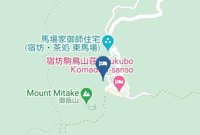
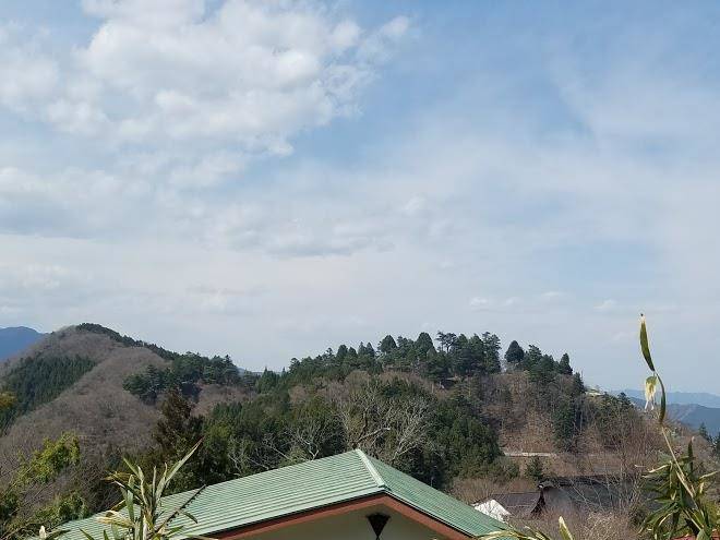
Mount Mitake (8 min)
A hiking trail & funicular lead to the top of this peak with a rock garden & Shinto shrine.
Mount Takao (1 hr 18)
Foliage-covered, 599-meter-tall peak with a funicular railway, hiking trails & a Buddhist temple.
Contact Number
Web Site
Address
Map Coordinates
Map