Ukraine
>Ivano Frankivsk
>Verkhovyna Raion Hotels
>
Info
International Aeroport Ivano-Frankivsk 1 hr 54
Biały Słoń (1 hr 51)
Former 1930s astronomical observatory, accessible by trail & now used as a mountain-rescue center.
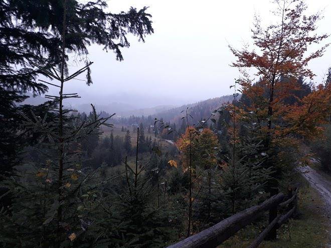
Carpathian National Nature Park (25 min)
Vast expanse of protected wilderness in the mountains with river access & dozens of trails.
Kukul (39 min)
Hikers enjoy year-round views of distant mountains from this peak on the border of 2 regions.
Hutyn Tomnatyk (2 hr 3)
Mountain and lake
Ozero Brebeneskul (1 hr 35)
Hora Kostrycha (19 min)
Pip Ivan (1 hr 35)
Scenic hiking destination featuring a 2,022-m. mountain peak with the ruins of an observatory.
Brebeneskul (1 hr 35)
Mountain and lake
Hora Shpytsi (59 min)
Mountain and lake
Chornohora (2 hr 10)
The highest mountain range in Western Ukraine, known for its hiking, climbing & scenic views.
Pip Ivan (1 hr 51)
Mountain peak known for picturesque views & the remains of a 1930s-era stone observatory.
Hoverla (2 hr 10)
Forested 6,762-foot-high mountain peak with panoramic views accessed by 6km & 12km long trails.
Ozero Nesamovyte (1 hr 7)
Loop trail passing swamp areas & berry bushes to a lake overlooking grassy hills & snowy peaks.
Contact Number
Web Site
Address
Map Coordinates
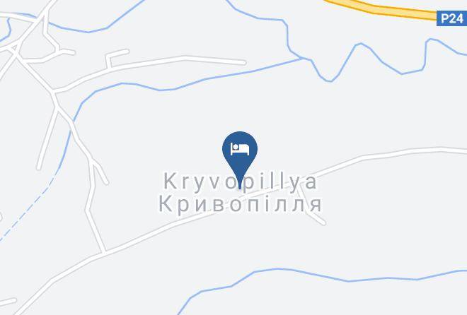
Map