Indonesia
>West Sumatra
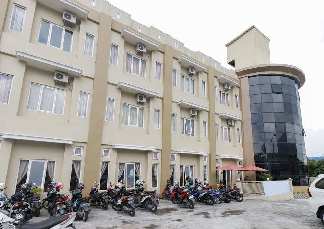
>Padang Panjang Hotels
>
Info
Minangkabau International Airport 1 hr 28
Minangkabau Culture Documentation and Information Center (12 min)
Fort De Kock (41 min)
Remains of a 19th-century Dutch fortress, including a stone memorial, cannons & part of a moat.
Desa Wisata Kubu Gadang Kota Padang Panjang (13 min)
Nagari Tuo Pariangan (32 min)
Sianok Valley (43 min)
Canyon, cliff, nature, and river
Mount Singgalang (34 min)
Volcano in West Sumatra with an elevation of 9,439 ft. & 2 lakes located at the summit.
Japanese Tunnel Bukittinggi (40 min)
The Japanese built this underground network of tunnels during their occupation in WWII.
Mount Tandikat (26 min)
This 2,438-meter volcano offers a hiking trail through dense jungle for crater views.
Janjang Koto Gadang (43 min)
Crenellated stone wall connecting Agam & Bukittinggi, with ravine views from its walkway & steps.
Mount Marapi (1 hr 11)
2,891-meter active volcano with a hiking trail offering views from the summit of nearby towns.
Puncak Anai (22 min)
Camping and nature
Jam Gadang Bukittinggi (40 min)
Popular city-center attraction with an imposing 1926 clock tower in a charming park setting.
Lembah Anai Waterfall (11 min)
Waterfall and nature
Wildlife Areas and Cultural Kinantan (44 min)
Zoo with animal exhibits, picnic spots & a traditional Minangkabau hall made from carved wood.
Mifan Water park (18 min)
Big palm-tree-filled water park with serpentine slides, pools & bumper boats, plus accommodations.
Contact Number
Web Site
Address
Map Coordinates
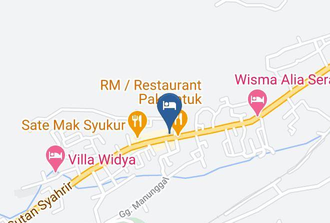
Map