Slovakia
>Zilina
>Liptovsky Mikulas Hotels
>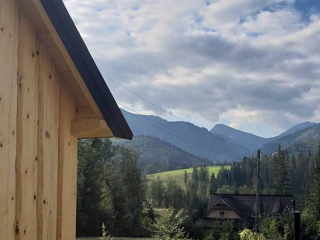
Info
Poprad–Tatry Airport 45 min
Chata pod Soliskom (33 min)
Mountain hut with panoramic views, a sun terrace & solarium, plus a rustic pub serving comfort fare.
Chochołowska Valley (1 hr 45)
Hiking, biking & views are the main draws at this pastoral, high-elevation glacial plain.
Skok Waterfall (33 min)
5,577-ft. waterfall surrounded by mountains, reachable by a hiking trail through forests & meadows.
Baranec (1 hr 5)
7,169-foot mountain featuring a hiking trail along sharp ridges & dramatic views of the valley.
Demänovská Cave of Liberty (28 min)
Extensive cave system with underground lakes & striking, colorful rock formations.
Roháčske lakes (1 hr 5)
Group of 4 high-altitude lakes, set amid rocky mountains & firs, connected by a well-used path.
Važecká cave (25 min)
Short sightseeing route in a cave with drip formations, small lakes & cave bear bones discoveries.
Kościeliska Valley (1 hr 40)
Valley with a picturesque walking trail amid mountains & forest, plus areas for hiking.
Volovec (30 min)
6,768-ft. mountain providing 3 color-coded trails & a summit with panoramic views.
Štrbské Pleso (32 min)
Glacial lake with a picturesque mountain backdrop, offering resorts & a waterfront hiking trail.
Demänovská Ice Cave (25 min)
Kriváň (1 hr 14)
Iconic 2,495m-high peak in the High Tatra Mountains featuring marked hiking trails & sweeping views.
Giewont (1 hr 56)
Popular with hikers, this mountain massif in Tatra National Park features 3 peaks & marked trails.
Bystrá (23 min)
Hiking trails passing lakes, forest & waterfalls, leading to a peak with views of the Tatra range.
Skrajne Solisko (33 min)
Wide reaching views are on offer at the top of this 2093 meter mountain summit.
Contact Number
Web Site
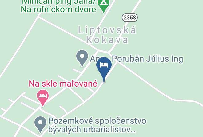
Address
Map Coordinates
Map