Japan
>Nagano Pref
>Matsumoto City Hotels
>
Info
Toyama Airport
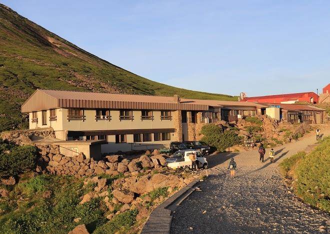
Norikura Plateau (12 min)
Wooded mountain plateau featuring waterfalls & hot springs, plus climbing & skiing.
Mount Norikura (3 min)
10,000-ft. alpine peak with a ski resort & several hiking trails with varying levels of difficulty.
Sanbon Falls (17 min)
Mountaineering, rock ptarmigan, and mountain
Contact Number
-
Web Site
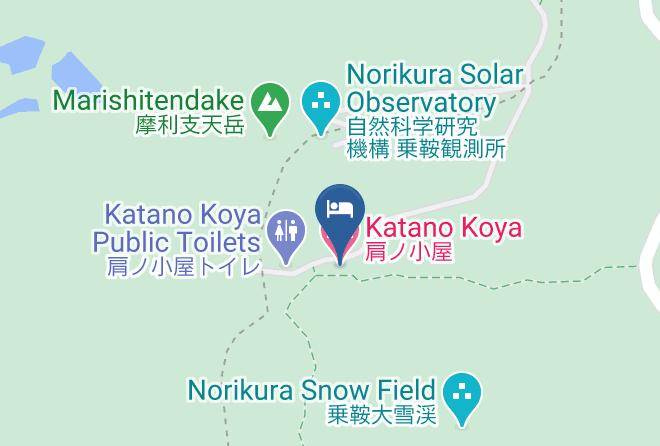
Address
Nagano Pref.,Matsumoto City,Azumi
Map Coordinates
Lat : 36.1146444, Lng : 137.5529039
Map