Japan
>Nagano Pref
>Omachi City Hotels
>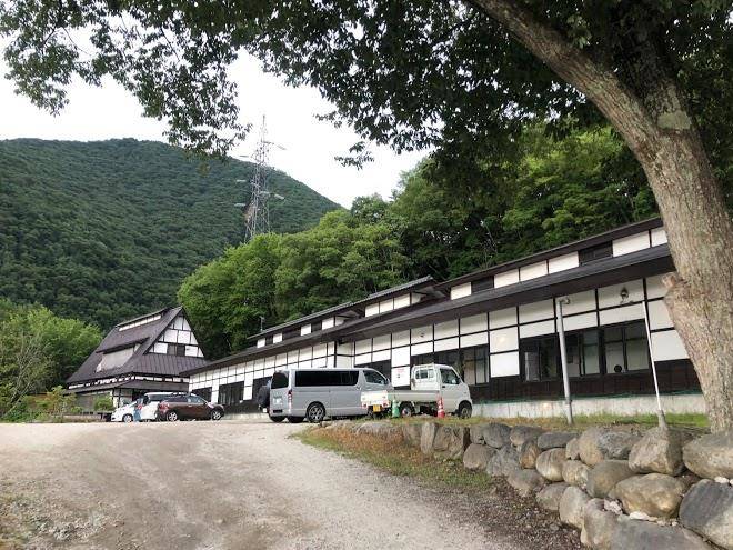
Info
Toyama Airport 2 hr 43
Kashimayarigadake (16 min)
Mountain with low-level hikes, guided summit treks & views of nearby snow-covered peaks.
Lake Kisaki (15 min)
Popular lake at the foot of the Japanese Alps for water sports, boat rentals & camping.
Mt. Harinoki (20 min)
A 9,255-foot alpine peak in the Hida range with a ridge trail, hut & Lake Kurobe panoramas.
Mount Tsurugi (3 hr 6)
One of the country's most famous, this notable peak offers a chairlift, hiking & seasonal climbing.
Hakuba Goryu Snow Resort (32 min)
Ski & snowboard resort with slopes for all levels, plus numerous restaurants & cafes.
Mt. Goryu (49 min)
Towering 2,814-m. mountain, a popular destination for skiing, hiking & rock climbing.
Hakuba Valley Kashimayari Ski Resort (22 min)
Unpretentious rooms & dorms in a casual mountain hostel featuring a BBQ restaurant.
Hakuba Sanosaka Snow Resort (27 min)
Family-friendly ski & snowboard resort with slopes for all levels alongside an array of eateries.
Kurobe Dam (20 min)
Massive dam completed in 1963 featuring an observation deck for dramatic river & mountain views.
Mount Tsubakuro (55 min)
Trails, rest areas & lodges on this popular mountain with white granite sands & colorful flora.
Jiigatake (11 min)
Triple-headed mountain reachable by a forested hiking trail, offering vast views at the summit.
Omachi Onsen (9 min)
Serene hot springs resort village with traditional ryokan inns in a scenic locale.
Kashimayarigadake (21 min)
Known for its fall colors & spring blossoms, this lake is popular for camping, kayaking & birding.
Contact Number
Web Site
Title :
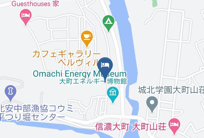
Address
Map Coordinates
Map