Slovakia
>Presov
>Poprad Hotels
>
Info
Košice International Airport 1 hr 31
Popradské pleso (19 min)
Surrounded by woods & mountains, this picturesque lake also features trails, a lodge & restaurant.
Räuberhütte (46 min)
Chalet, ski touring, and mountain
Téry cottage (1 hr 4)
Chalet, climbing, and mountain
Gerlachovský štít (46 min)
The tallest High Tatras mountain range peak rising 8,709 feet over a glacial valley.
Štrbské Pleso (21 min)
Glacial lake with a picturesque mountain backdrop, offering resorts & a waterfront hiking trail.
Skalnaté Pleso (37 min)
Mountain tarn at 5,745 ft. served by cable car, with food & gift outlets & a scientific observatory.
High Tatras (46 min)
Sprawling mountain chain with dozens of scenic peaks, alpine lakes & a variety of hiking trails.
Tatra National Park (18 min)
Sprawling mountain preserve bordering Poland with 600 km of hiking trails, 300 caves & 100+ lakes.
Zamkovskeho chalet (22 min)
Alpine-style hiking hut with wood paneled dorm rooms, shared bathrooms & dining, plus a play area.
Belianska Cave (25 min)
Sizable stalactite cave with lakes, waterfalls & seasonal music shows (only guided tours available).
Hrebienok (22 min)
Scenic mountain destination on the funicular railway line offering a restaurant, tubing & sledding.
Zelené pleso (1 hr 4)
Vast nature reserve with a scenic, moderate hike to its lake & traditional mountain chalet.
Lomnický štít (1 hr 4)
Snow-capped mountain range peak reaching 8,642-feet with an observatory built in 1940 & cable cars.
Velické pleso (46 min)
Lake in the High Tatras with a waterfall, reached by a popular hiking & mountain biking trail.
Slavkovský štít (46 min)
Reaching a height of 2452 meters, this mountain features a hiking trail leading to scenic views.
Contact Number
Web Site
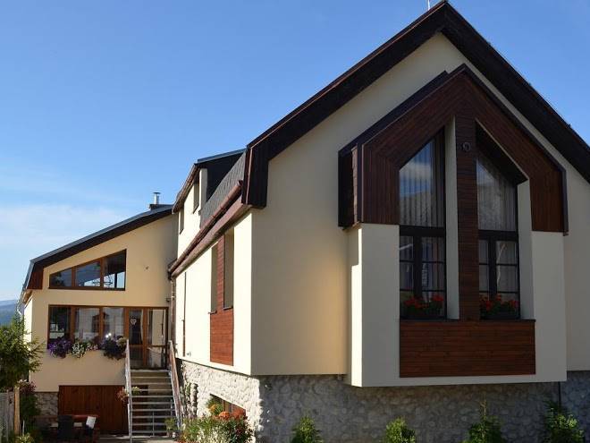
Title :
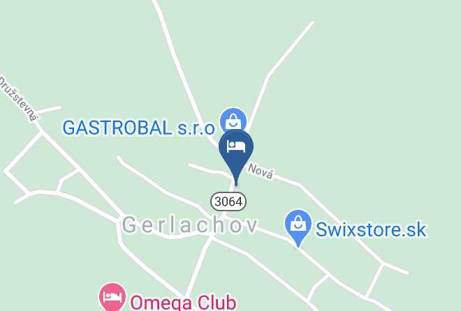
Address
Map Coordinates
Map